So I got this dataset of the pathway from OpenStreetMap. and I filtered only the cycleway as can be seen in the image below. But, something strange in the dataset that I don’t understand. Why does the cycleway going over the waterbody and mostly also going over the river?
any idea what this could be happening?
Openstreetmap, in a Openstreetmap editor it is easily done to drag a node to some place else in the world.
When uploaded, the mistake is directly visible in the dataset if you caught such a dataset, you visualise the mistake.
Try a new dataset. The problem could be solved by now, changeset revert.
This line is always between two nodes, where are these nodes?
It is possible, to drag a node from Berlin to London, by mistake.
And get a straight line highway=cycleway, and back.
Overpass, http://overpass-turbo.eu/s/TqF
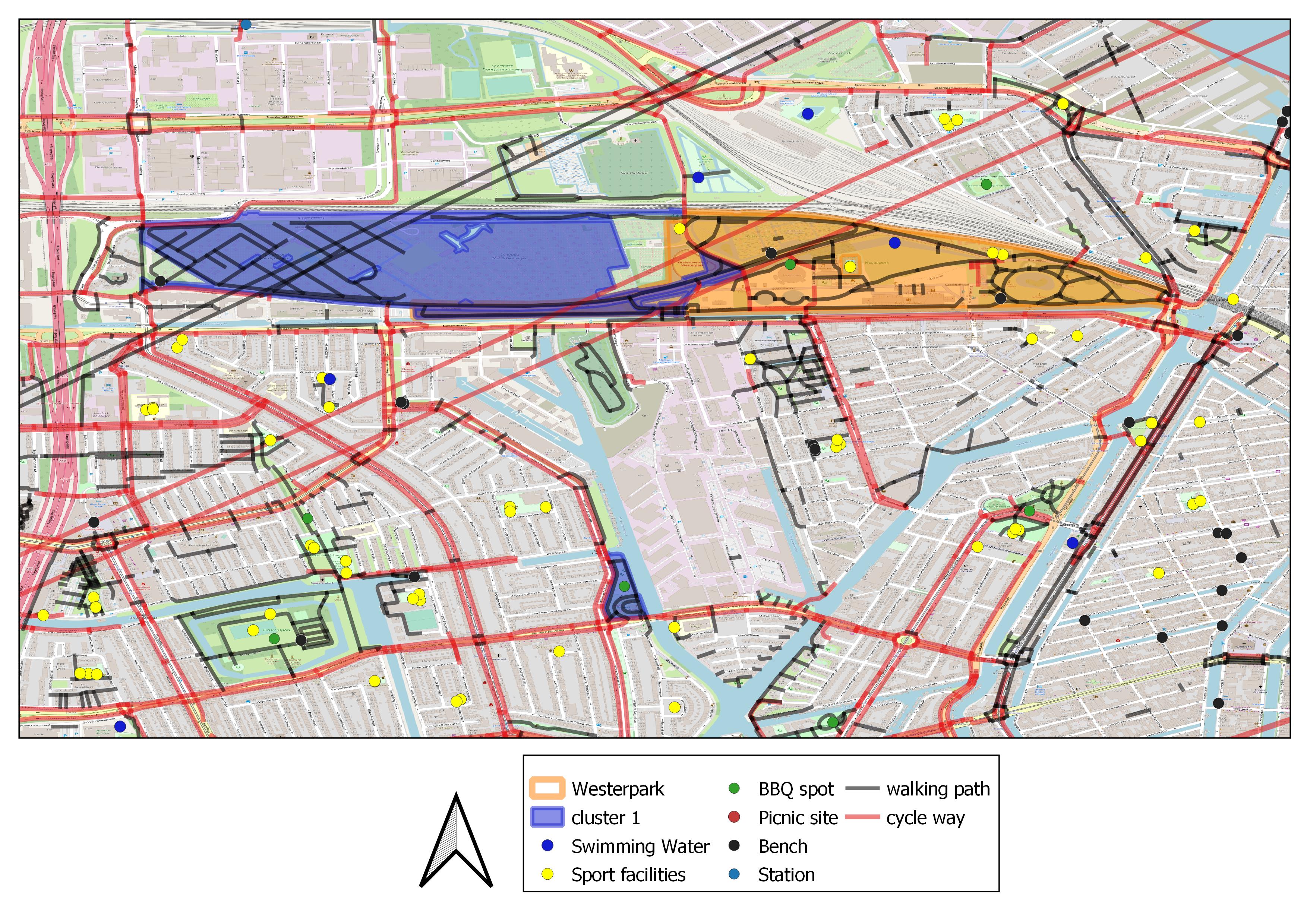
A part of Amsterdam, I do not see this way.
I looks like a connection node from cycleway and path is dragged. And it is solved.