Hi sbjarger,
Thank you for responding!
You’re correct—I need to ask themselves about elevations.
The version of QGIS I’m using is 3.30.2-'s-Hertogenbosch.
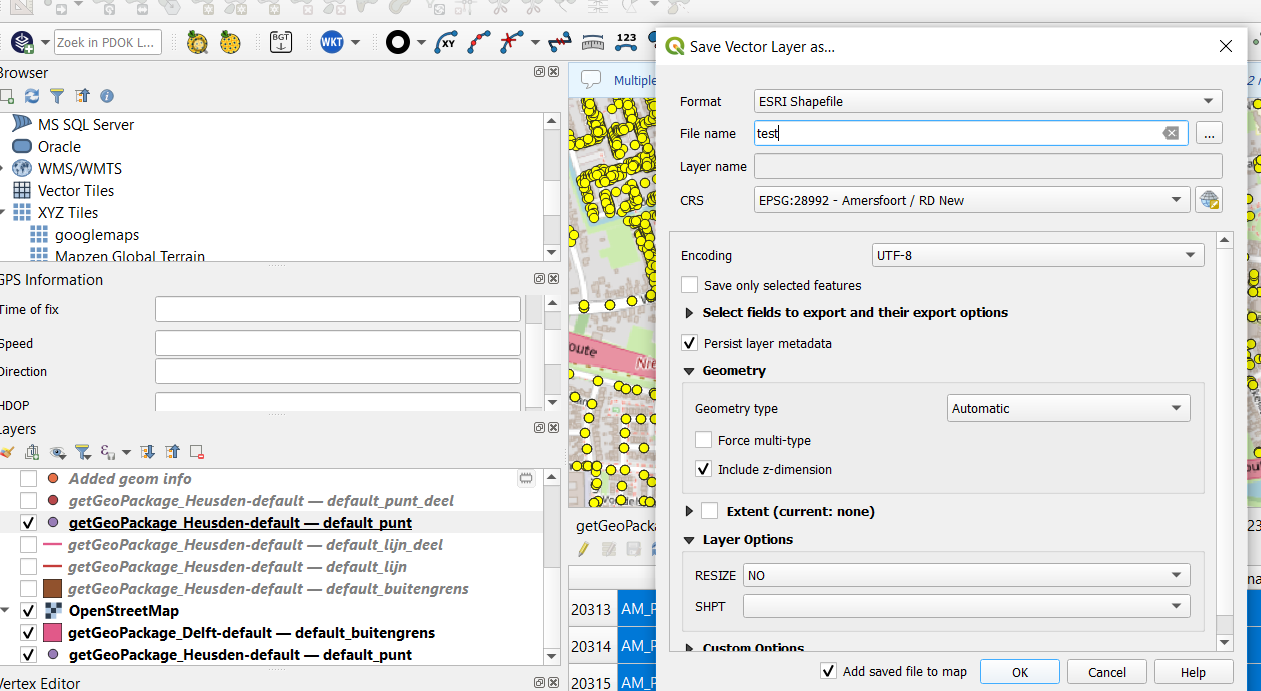
My intention was to export the Punt layer. Here is an image of it:
I need the shape file for another application on a cloud, along with the coordinates of the points.
I find ARCGIS more user-friendly, and QGIS is not as convenient for me
 .
.
Kind regards,
Maryam