Hello, I’ve tried to put the WMS into Arcmap from this link:
https://geodata.nationaalgeoregister.nl/top10nlv2/wms?request=getCapabilities&service=WMS
but it seems to be error as it wouldn’t show anything.
I tried it first on qgis, and then on ArcMap
daneng
2
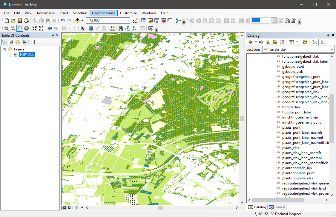
I think it probably has to do with the fact that the TOP10NL WMS layers will only render from a certain zoomlevel/scale.
The highest scale level i’ve been able to get response back from the WMS is 1:42000 in ArcMap.
1 like
daneng
3
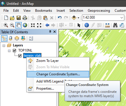
Also make sure that you select the projection that makes to most sense for you.
ArcMap defaults to ETRS89.
But you can manually set it to others using this:
1 like