Hello, I’ve tried to download the Bodemkaart map to use it in QGIS, i c’ant find a link for download or for the WFS that work for this map, someone can help me ?
Thanks in Advance
Thomas
Only WMS’s and downloads seem to be available for the BRO:
https://www.pdok.nl/introductie/-/article/basisregistratie-ondergrond-bro-
When I followed the link and finded the map, but when i click the dowload link i Have this :
00|690x273
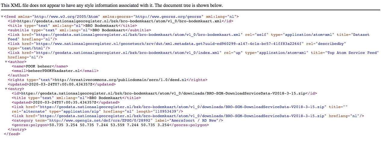
This is not a WFS this is an ATOM feed
There is a download url in this xml which contains a zip file with the data (in geopackage format)
https://geodata.nationaalgeoregister.nl/bzk/bro-bodemkaart/atom/v1_0/downloads/BRO-SGM-DownloadServiceData-V2018-3-15.zip
In newer atom feeds we have added a style to it to make it more clear what it is and where the actual downloadlink is, but we are still in the process of migrating all our older ATOM feeds
1 like
Thanks for the information and for your quick answer !!
I still have a small question, when I dowload and import the file to Qgis, I have only one layer which is a polygon the other one dont have any geometry, do you know if its a import problem ?
Which file did you import specifically.
The zip file contains a few files and will need to be extracted first.
The file with the data is BRO-SGM-DownloadServiceData-V2018-3-15.gpkg
The other files are metadata and styling.
I’ve imported BRO-SGM-DownloadServiceData-V2018-3-15.gpkg
It is the same map that i try to proccess ?
sorry for my noob questions !
Yes and no,
It is the same underlying data, but that image is of WMS which is a stylized visualization
The data in the gpkg contains one layer with polygon
and then the other layers contain the information with which to style it.
You can use the gpkg to analyze or use the data for yourself
or you can use the WMS: https://geodata.nationaalgeoregister.nl/bzk/bro-bodemkaart/wms/v1_0?request=GetCapabilities&service=wms
in order to get the visualization in QGIS
That great i understand !!