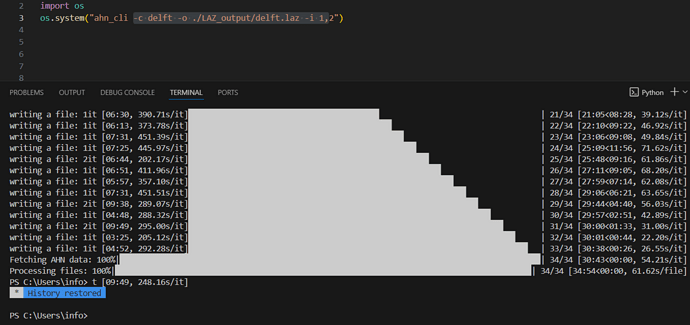
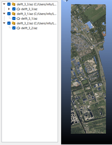
I have developed Python command line tool to download AHN point cloud data in LAS/LAZ data format.
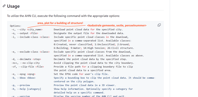
With this CLI, you can specify
- city name you download
- classification classes to include or exclude
- polygon to clip your point cloud
- decimate to make data smaller
I hope this will help you to be more productive.
I’m very welcome to your GitHub stars 

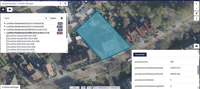
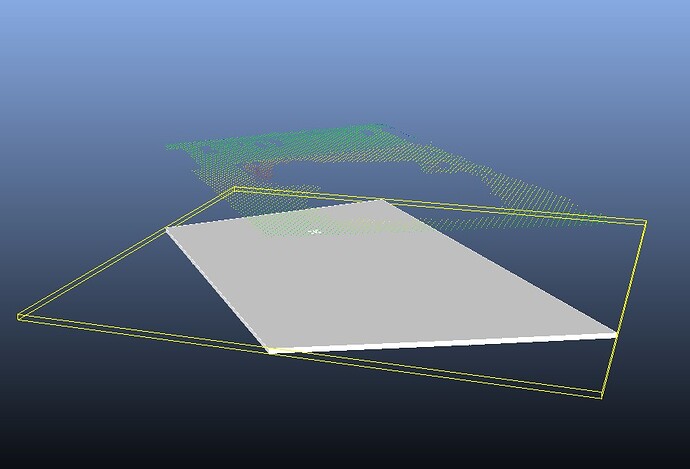
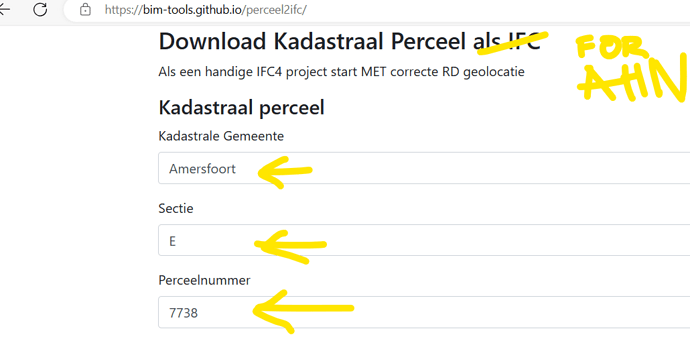
 This code could be extremely useful if it could taget a certain. plot