Is there a way to export QGIS Cityjson files to other sorts of 3D meshes?
I tried the DGN and DXF options for exporting but both resulted in very poor CAD output. DXF went up into 1 TB flat lines and DGN not very much the same, except in 80 MB. The “export Z dimension” does not have the desired effect, neither does the “3D” option in DGN. These QGIS functions are in the first place meant for straightforward 2D vector data export. I am looking for alternative ways and posibilities to make QGIS (or other addons) to turn 3D opendata cityjson into other 3D formats.
DXF and DGN (and DWG) are really hard to support by open source software like QGIS and GDAL because they are proprietary (secret) formats designed by the vendors of CAD software. DXF is a bit more open I think, but the data model doesn’t fit object based GIS data very well.
It might be quite easy though to simply loop every line in the objects of the QGIS layer and write it as a line to dxf. I guess from there you could use your CAD tools?
About the large files. That is weird, unless you are trying to export the entire country in 1 go.
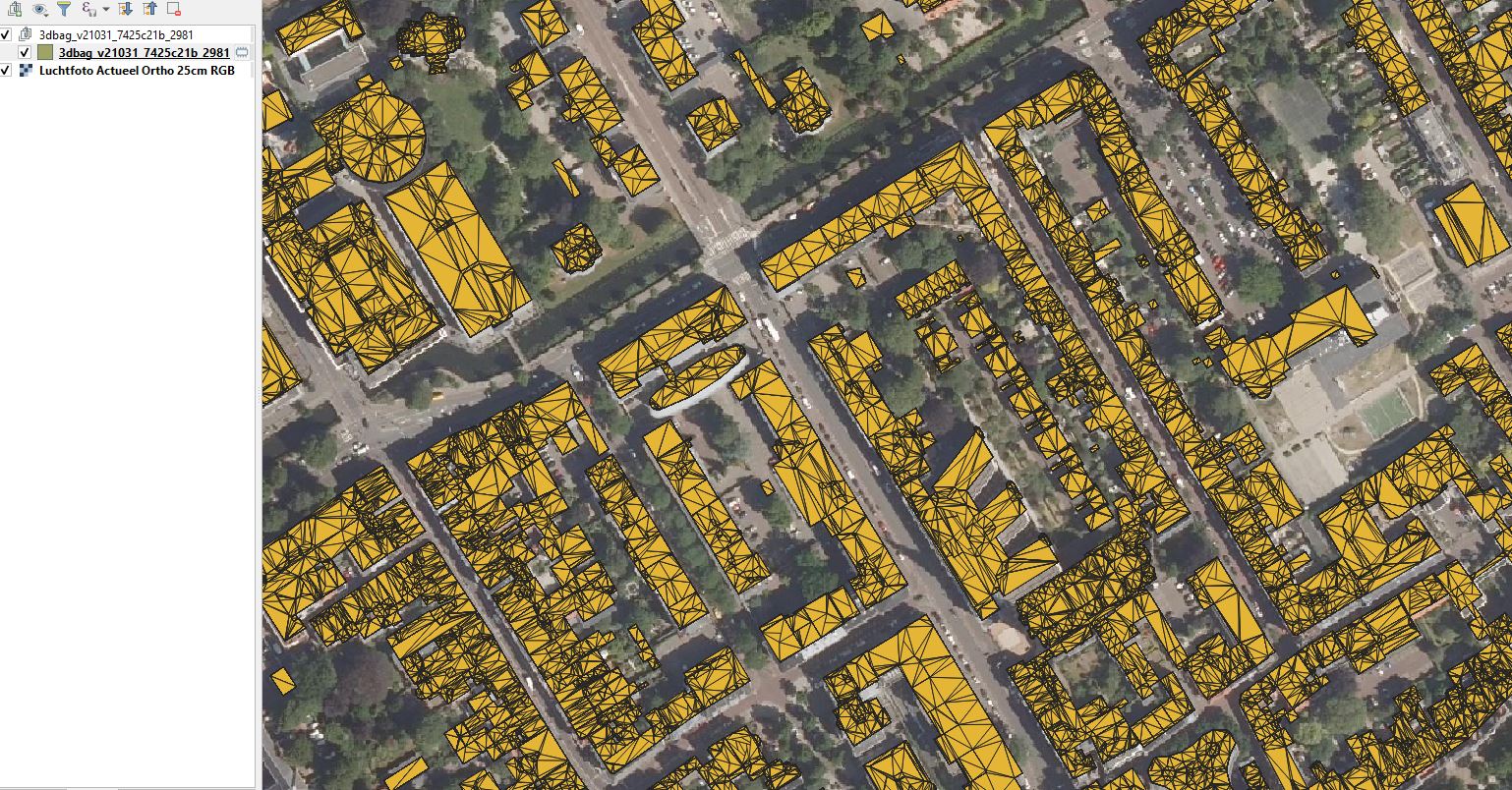
By the way, there’s no such thing as a “QGIS Cityjson file”. QGIS can import Cityjason data with a plugin.
was written in English, and dxf export requests from Qgis might be a more universal wish.
The export is just a 1 file cityjson.
The other route to get 3D DXF is using BlenderGIS. Of course, addons This gives better results and the core is probably more 3D orientated. DXF results are relative good. Geopositioning is not correct. Other alternatives, Esri or FME?
To gain the most benefit in design domain, i would say IFC. For Urban models ‘as underlay’. Can it be done? I see much more potential in it then .obj files.
Nb. And, as much as i respect all the features and possibilities of FME software i think the data should be available in such a way that this actually can be used without specialized converting software. Which has quite some pricecard…
We could achieve the best results if we would write directly to IFC, but at the moment we don’t have a writer for that.
I was hoping that OBJ will be sufficient for importing the data as 3D underlay into CAD/BIM software, but I see from the feedback that we are receiving that it is problematic too.
Indeed, our goal is to have a selection of data formats that allow the widest possible use without any conversion. Having to rely on FME is not acceptable.
Several people would like to have the data in dxf/dwg in some way. Although, I’m not sure how that could work. What do you think?